
Fil:Medieval Arab Palestine.jpg
Storleik på førehandsvising: 464 × 599 pikslar. Andre oppløysingar: 186 × 240 pikslar | 372 × 480 pikslar | 824 × 1 064 pikslar.
Opphavleg fil (824 × 1 064 pikslar, filstorleik: 191 KB, MIME-type: image/jpeg)
Følgjande er henta frå filomtalen åt denne fila på Wikimedia Commons:
Skildring
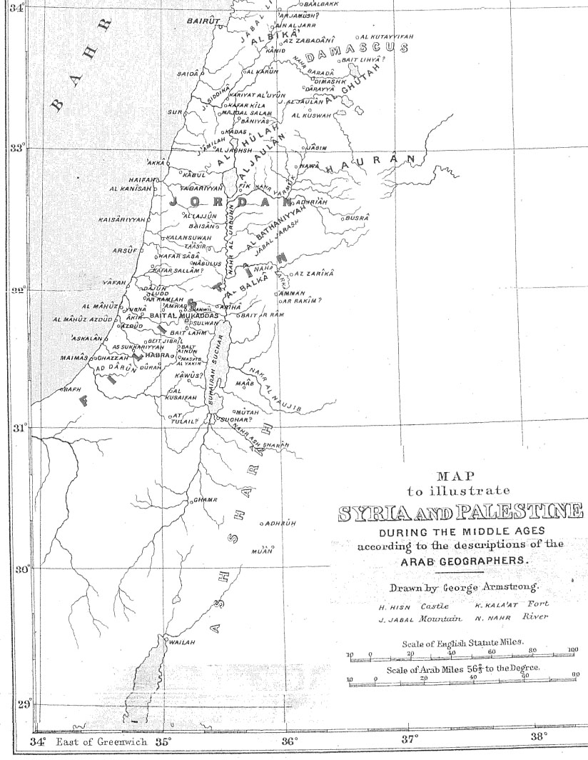
| Skildring | Map of Palestine during the Middle Ages according to the description of the Arab geographers, drawn by Geo. Armstrong, from Palestine Under the Muslims: A Description of Syria and the Holy Land from AD 650 to 1500, by Guy Le Strange, London 1890 |
| Dato | 16. november 2004 (original upload date) |
| Kjelde | Transferred from en.wikipedia to Commons. |
| Opphavsperson |
The original uploader was Mustafaa at engelsk Wikipedia. Later versions were uploaded by AnonMoos at en.wikipedia. |
Lisensiering:
|
Dette verket er falt i det fri i Noreg, og dei landa som har opphavsrettsleg vernetid på 70 år etter opphavsmannen sin død, eller kortare. This work is in the public domain in the United States because it was published (or registered with the U.S. Copyright Office) before January 1, 1929. | |
| Denne fila er fastsett å vera fri for kjende avgrensingar under opphavsrettlovgjeving, medrekna alle relaterte og nærliggjande rettar. | |
Opphavleg opplastingslogg
The original description page was here. All following user names refer to en.wikipedia.
- 2005-09-21 17:41 AnonMoos 824×1064×8 (195077 bytes) Losslessly cropped image to area of interest
- 2004-11-16 21:36 Mustafaa 979×1072×8 (218293 bytes) Map of Palestine during the Middle Ages according to the description of the Arab geographers, drawn by Geo. Armstrong, from ''Palestine Under the Muslims: A Description of Syria and the Holy Land from AD 650 to 1500'', by Guy Le Strange, London 1890 (henc
Filhistorikk
Klikk på dato/klokkeslett for å sjå fila slik ho var på det tidspunktet.
| Dato/klokkeslett | Miniatyrbilete | Oppløysing | Brukar | Kommentar | |
|---|---|---|---|---|---|
| gjeldande | 21. juni 2007 kl. 21:37 | | 824 × 1 064 (191 KB) | Friðrik Bragi Dýrfjörð | {{Information |Description=Map of Palestine during the Middle Ages according to the description of the Arab geographers, drawn by Geo. Armstrong, from ''Palestine Under the Muslims: A Description of Syria and the Holy Land from AD 650 to 1500'', by Guy Le |
Filbruk
Den følgjande sida bruker denne fila:
Global filbruk
Desse andre wikiane nyttar fila:
- Bruk på ar.wikipedia.org
- Bruk på azb.wikipedia.org
- Bruk på da.wikipedia.org
- Bruk på en.wikipedia.org
- Bruk på es.wikipedia.org
- Bruk på fy.wikipedia.org
- Bruk på ilo.wikipedia.org
- Bruk på is.wikipedia.org
- Bruk på lt.wikipedia.org
- Bruk på mt.wikipedia.org
- Bruk på nl.wikipedia.org
- Bruk på no.wikipedia.org
- Bruk på pnb.wikipedia.org
- Bruk på ps.wikipedia.org
- Bruk på ro.wikipedia.org
- Bruk på si.wikipedia.org
- Bruk på sk.wikipedia.org
- Bruk på ur.wikipedia.org
- Bruk på uz.wikipedia.org
- Bruk på zh.wikipedia.org