
Fil:Rutland UK location map.svg

Storleik på denne PNG-førehandsvisinga av denne SVG-fila: 750 × 600 pikslar. Andre oppløysingar: 300 × 240 pikslar | 600 × 480 pikslar | 960 × 768 pikslar | 1 280 × 1 024 pikslar | 2 560 × 2 048 pikslar | 1 425 × 1 140 pikslar.
Opphavleg fil (SVG-fil, standardoppløysing: 1 425 × 1 140 pikslar, filstorleik: 856 KB)
Følgjande er henta frå filomtalen åt denne fila på Wikimedia Commons:
| Skildring |
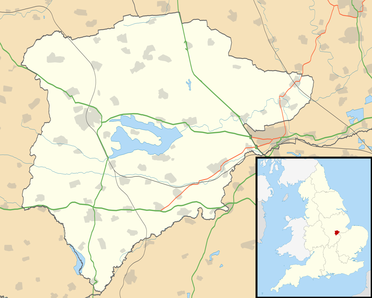
Map of Rutland, UK with the following information shown:
Equirectangular map projection on WGS 84 datum, with N/S stretched 160% Geographic limits:
|
| Dato | |
| Kjelde |
|
| Opphavsperson | Nilfanion, created using Ordnance Survey data |
| Løyve (Gjenbruk av denne fila) |
Denne fila er lisensiert under lisensen Creative Commons Namngjeving-DelPåSameVilkåra 3.0 Unported Namngjeving: Contains Ordnance Survey data © Crown copyright and database right
|
| Andre versjonar | File:Rutland UK district map (blank).svg - Blank map |
.svg)
Filhistorikk
Klikk på dato/klokkeslett for å sjå fila slik ho var på det tidspunktet.
| Dato/klokkeslett | Miniatyrbilete | Oppløysing | Brukar | Kommentar | |
|---|---|---|---|---|---|
| gjeldande | 26. september 2010 kl. 21:10 | | 1 425 × 1 140 (856 KB) | Nilfanion | {{Information |Description=Map of Rutland, UK with the following information shown: *Administrative borders *Coastline, lakes and rivers *Roads and railways *Urban areas Equirectangular map projection on WGS 84 datum, with N/S stretched 160 |
Filbruk
Den følgjande sida bruker denne fila:
Global filbruk
Desse andre wikiane nyttar fila:
- Bruk på af.wikipedia.org
- Bruk på ar.wikipedia.org
- Bruk på bg.wikipedia.org
- Bruk på ceb.wikipedia.org
- Bruk på en.wikipedia.org
- Oakham
- Uppingham
- RAF Cottesmore
- Wing, Rutland
- Stretton, Rutland
- Langham, Rutland
- Pickworth, Rutland
- Great Casterton
- Ryhall
- Little Casterton
- Tixover
- North Luffenham
- RAF North Luffenham
- Whitwell, Rutland
- Braunston-in-Rutland
- Whissendine
- Ashwell, Rutland
- Ayston
- Barleythorpe
- Barrow, Rutland
- Barrowden
- Belton-in-Rutland
- Bisbrooke
- Brooke, Rutland
- Burley, Rutland
- Caldecott, Rutland
- Clipsham
- Cottesmore, Rutland
- Edith Weston
- Egleton
- Empingham
- Essendine
- Exton, Rutland
- Glaston
- Greetham, Rutland
- Gunthorpe, Rutland
- Hambleton, Rutland
- Ketton
- Lyddington
- Lyndon, Rutland
- Manton, Rutland
- Market Overton
- Morcott
- Normanton, Rutland
- Pilton, Rutland
Sjå meir global bruk av denne fila.