
Fil:Trinidad and Tobago location map.svg

Storleik på denne PNG-førehandsvisinga av denne SVG-fila: 619 × 600 pikslar. Andre oppløysingar: 248 × 240 pikslar | 495 × 480 pikslar | 792 × 768 pikslar | 1 057 × 1 024 pikslar | 2 113 × 2 048 pikslar | 780 × 756 pikslar.
Opphavleg fil (SVG-fil, standardoppløysing: 780 × 756 pikslar, filstorleik: 39 KB)
Følgjande er henta frå filomtalen åt denne fila på Wikimedia Commons:
Skildring
| Skildring |
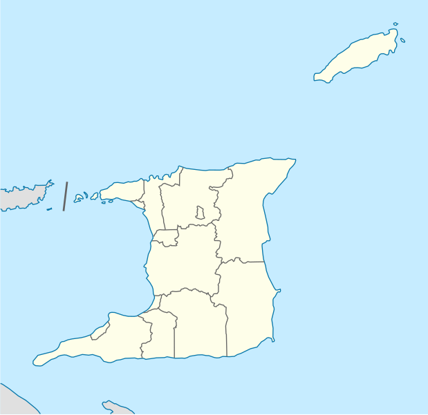
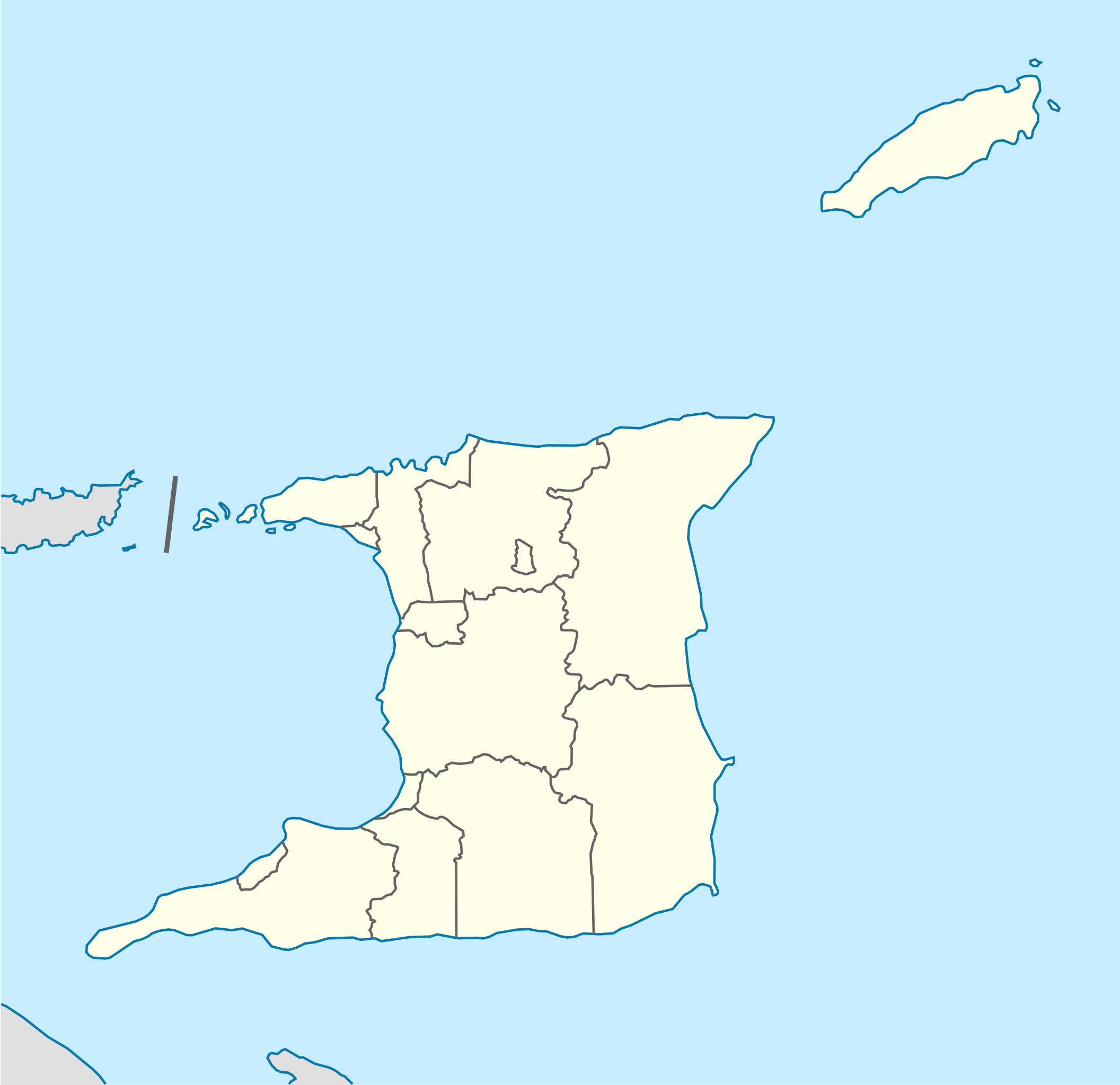
Deutsch: Positionskarte von Trinidad und Tobago
Quadratische Plattkarte. Geographische Begrenzung der Karte:
English: Location map of Trinidad and Tobago
Equirectangular projection. Geographic limits of the map:
|
| Dato | |
| Kjelde |
Eige arbeid, using
|
| Opphavsperson | NordNordWest |
| Andre versjonar |
Derivative works of this file: Trinidad and Tobago location map Topographic.png |


|
This map has been made or improved in the German Kartenwerkstatt (Map Lab). You can propose maps to improve as well.
|
Lisensiering:
Eg, opphavsrettshaldaren til verket, publiserer det hermed under denne lisensen:
Denne fila er lisensiert under lisensen Creative Commons Namngjeving-DelPåSameVilkåra 3.0 Unported
- Du står fritt til å:
- til å dela – til å kopiera, distibuera og overføra arbeidet
- til å blanda – til å endra verket
- På desse vilkåra:
- namngjeving – Du lyt godskriva verket på den måten som opphavpersonen eller lisensgjevaren har oppgjeve (men ikkje på ein slik måte at det kan verka som om dei går god for deg eller måten du nyttar verket på).
- del på same vilkåra – Om du remiksar, omarbeider, eller på annan måte byggjer på dette verket, kan du berre distribuera resultatet under den same eller ein samsvarande lisens som denne.
Filhistorikk
Klikk på dato/klokkeslett for å sjå fila slik ho var på det tidspunktet.
| Dato/klokkeslett | Miniatyrbilete | Oppløysing | Brukar | Kommentar | |
|---|---|---|---|---|---|
| gjeldande | 7. mai 2013 kl. 14:39 | | 780 × 756 (39 KB) | NordNordWest | Reverted to version as of 16:58, 17 June 2009; please see en: Chacachacare |
| 7. mai 2013 kl. 14:09 |  | 780 × 756 (43 KB) | Dr Brains | Boundary with Venezuela | |
| 17. juni 2009 kl. 18:58 |  | 780 × 756 (39 KB) | NordNordWest | {{Information |Description= {{de|Positionskarte von Trinidad und Tobago}} Quadratische Plattkarte. Geographische Begrenzung der Karte: * N: 11.45° N * S: 9.85° N * W: 62.05° W * O: 60.4° W {{en|Location map of [[:en:Trinida |
Filbruk
Den følgjande sida bruker denne fila:
Global filbruk
Desse andre wikiane nyttar fila:
- Bruk på af.wikipedia.org
- Bruk på ar.wikipedia.org
- Bruk på be-tarask.wikipedia.org
- Bruk på be.wikipedia.org
- Bruk på bg.wikipedia.org
- Bruk på bn.wikipedia.org
- Bruk på bs.wikipedia.org
- Bruk på ca.wikipedia.org
- Bruk på ceb.wikipedia.org
- Plantilya:Location map Trinidad and Tobago
- White Cliff
- Smith Island
- The Sisters
- Signal Hill
- Saint Paul
- Saint John
- Saint George
- Red Cliff
- Pelican Rocks
- Morris Bay
- Long Island
- Hermitage Bay
- Goat Island
- Five Islands
- North Point
- Sandy Point
- Long Rock
- Rocky Point
- Black Rock
- Wolf Rock
- White Rock
- East Rock
- Crown Point
- Centre Hill
- The Brothers
- South Rock
- Sandy Bay
- Eastern Channel
- Sisters Rocks
- Brothers Rocks
- Man of War Bay
Sjå meir global bruk av denne fila.