
Fil:Mapa de los Estados Unidos de Colombia (1864).jpg

Opphavleg fil (3 660 × 2 974 pikslar, filstorleik: 2,89 MB, MIME-type: image/jpeg)
.jpg)
Følgjande er henta frå filomtalen åt denne fila på Wikimedia Commons:
Skildring
| Skildring |
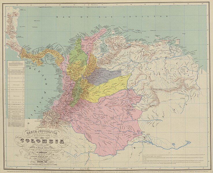
Español: Carta Jeográfica de los Estados Unidos de Colombia. Tomado del "Atlas geográfico e histórico de la República de Colombia", 1890 y el "Atlas de Colombia", 1967 |
||||
| Dato | |||||
| Kjelde |
Atlas geográfico e histórico de la República de Colombia, 1890 http://www.lablaa.org/blaavirtual/faunayflora/orinoco/orinoco9a.htm http://www.revistacredencial.com/credencial_historia/atlas/home_atlas.htm |
||||
| Opphavsperson | Agustín Codazzi, Manuel Maria Paz, Felipe Pérez | ||||
| Løyve (Gjenbruk av denne fila) |
|
||||
Filhistorikk
Klikk på dato/klokkeslett for å sjå fila slik ho var på det tidspunktet.
| Dato/klokkeslett | Miniatyrbilete | Oppløysing | Brukar | Kommentar | |
|---|---|---|---|---|---|
| gjeldande | 1. mai 2021 kl. 08:14 | | 3 660 × 2 974 (2,89 MB) | Milenioscuro | resolución |
| 10. januar 2011 kl. 22:59 |  | 720 × 560 (145 KB) | Milenioscuro | mapa con mejores colores y mas nitido | |
| 27. oktober 2010 kl. 07:01 |  | 591 × 473 (57 KB) | Milenioscuro | Reverted to version as of 17:24, 5 August 2008 | |
| 5. april 2010 kl. 03:48 |  | 582 × 450 (224 KB) | Milenioscuro | mapa con mejor resolución | |
| 5. august 2008 kl. 19:24 |  | 591 × 473 (57 KB) | Milenioscuro | {{Information |Description={{es|1=Estados Unidos de Colombia. Tomado del "Atlas histórico y geográfico de Colombia", 1890.}} |Source=http://www.lablaa.org/blaavirtual/faunayflora/orinoco/orinoco9a.htm |Author=Agustin Codazzi |Date=1890 |Permission= |oth |
Filbruk
Det finst ikkje noka side som bruker denne fila.
Global filbruk
Desse andre wikiane nyttar fila:
- Bruk på de.wikisource.org
- Bruk på el.wikipedia.org
- Bruk på en.wikipedia.org
- Bruk på es.wikipedia.org
- Bruk på fr.wikipedia.org
- Bruk på id.wikipedia.org
- Bruk på it.wikipedia.org
- Bruk på pt.wikipedia.org
- Bruk på tr.wikipedia.org
.jpg)